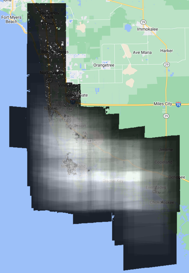
Today I am working to select the “best” satellite images for input into a machine learning model. We want full coverage of the RBNERR area but we are also looking for consistency between images.
A display of how evenly the area is covered is shown below:
exports.displayIC = function(d){
  var imageCollection = d.imageCollection;
  var sumImg = imageCollection.count();
  Map.addLayer(
    sumImg
    {min: 1, max: 51},
  )
  Map.centerObject(sumImg)
}

var rookery = require(
  "users/tylarmurray/rois:RBNERR"
)
exports.displayIC({
  imageCollection: rookery.wv_image_collection
})
The centerObject call left things very zoomed out but this works well otherwise. I have reduced the opacity a bit in the following screenshot so the basemap can show through slightly.

I am struggling to choose a method for identifying the best subset of images. It was suggested to limit by season but it is unclear to me how to choose which season is best.
I ran the code again but on an image collection that has been cloudmasked. I added this little function to the users/tylarmurray/rois/RBNERR namespace:
// return a clean & normalized WV imageCollection.
exports.getCleanWVImageCollection = function(){
  var wv_fns = require('users/tylarmurray/sat_fns:wv_fns');

  return exports.wv_image_collection
    .map(wv_fns.convertToRatios)  // normalization
    .map(wv_fns.cloudMaskImage)  // cloudmask
  ;
}
The new image shows much more detail than it should.
This means that the cloudmask function is false-positive masking non-clouds often enough for the details to show up here.