An attempt to detect effects of hurricane Ian on dense seagrass beds near the Florida Keys.
Normalized Difference Aquatic Vegetation Index (NDAVI) [^villa2014] is used as an indicator of seagrass status. NDAVI is similar to NDVI but uses the normalized difference of near-infrared and blue bands to work better with underwater vegetation.
Hurricane Ian passed roughly 75 miles west of Key West as a Category 4 storm in September of 2022, suspending sediment that may have impacted seagrass.
An Area of Interest (AoI) of continuous dense seagrass was identified using past seagrass mapping.
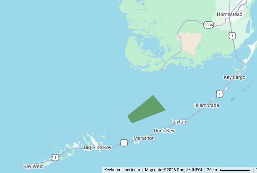
A sentinel-derived NDAVI was calculated for each pixel in the AoI. These pixels were averaged into a single value. This extracted value from each image forms a time series of NDAVI over time averaged across that AoI. The GEE script used is here. This GSheet was used to visualize the time series and calculate moving average across the series.
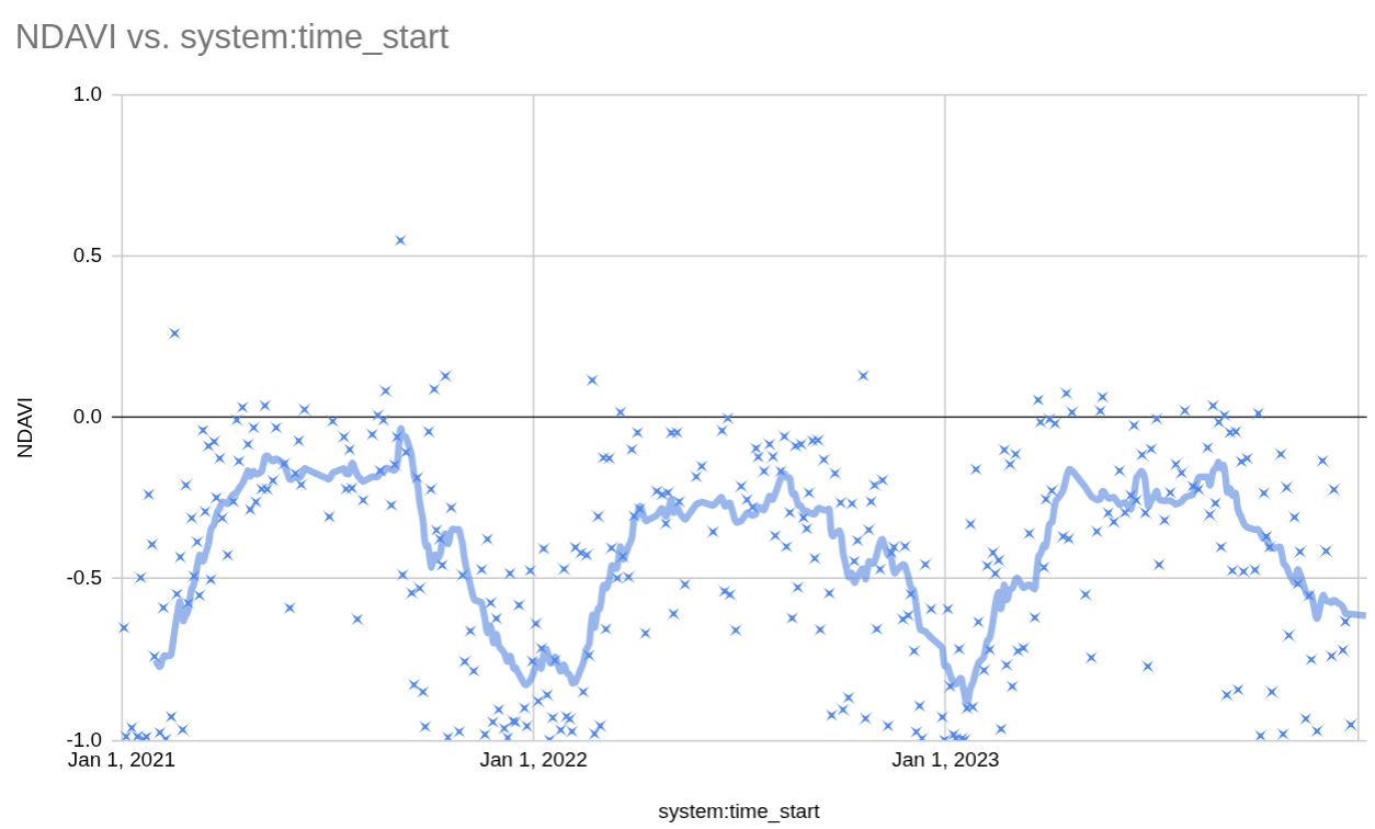
A small dip following hurricane Ian is noticeable, bottoming out on September 30th. The dip is approximately one month long. The following seagrass year appears largely unaffected.
- [^vila2014] Villa, P., Bresciani, M., Bolpagni, R., Pinardi, M., & Giardino, C. (2014). Aquatic vegetation indices assessment through radiative transfer modeling and linear mixture simulation. International Journal of Applied Earth Observation and Geoinformation, 30, 113-125.